[Mt.Shioya Maruyama]
After the long and cold winter in Hokkaido, the mountaineering season has finally arrived.
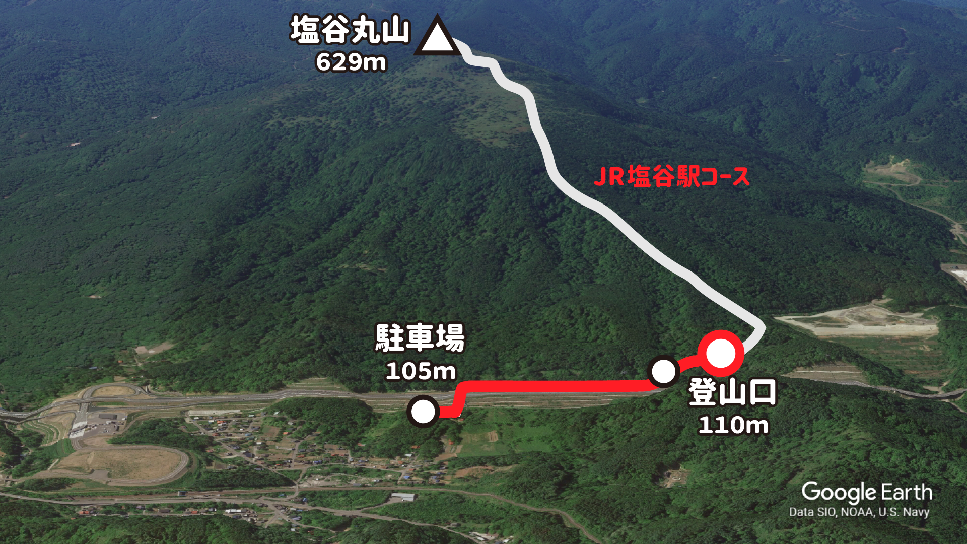
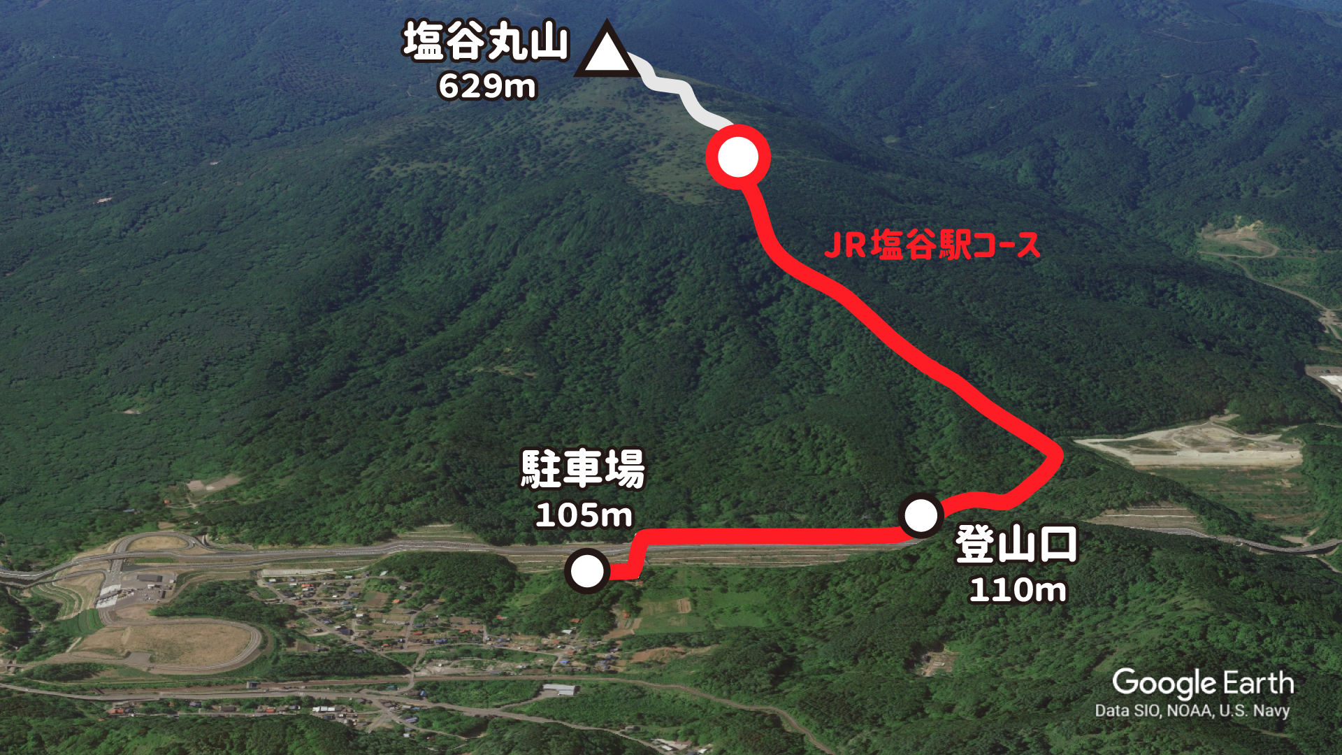
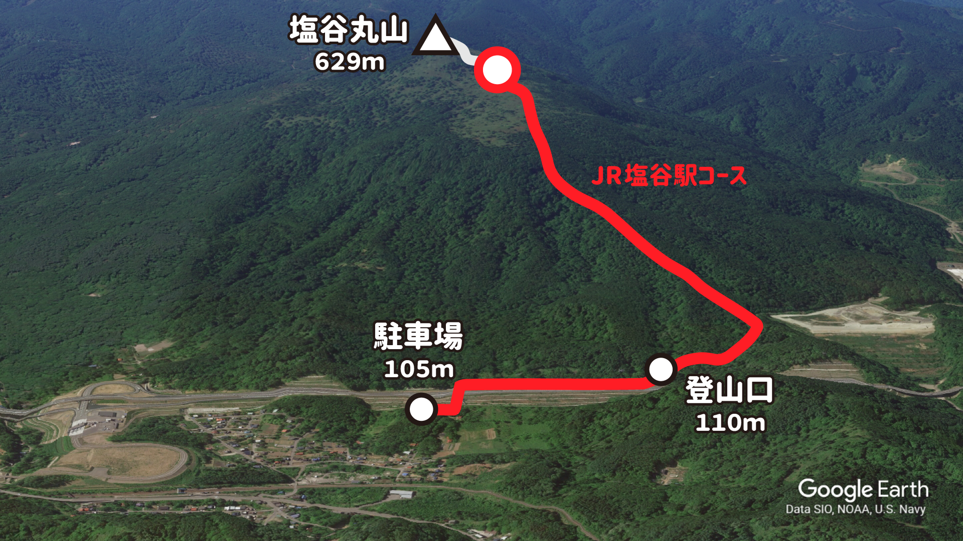
It’s been a long time since I’ve climbed the mountain, so this time I’m going to climb “Mt.Shioya Maruyama” at an altitude of 629m in Otaru City, Hokkaido from the JR Shioya Maruyama course!
elevation of 50m
parking lot
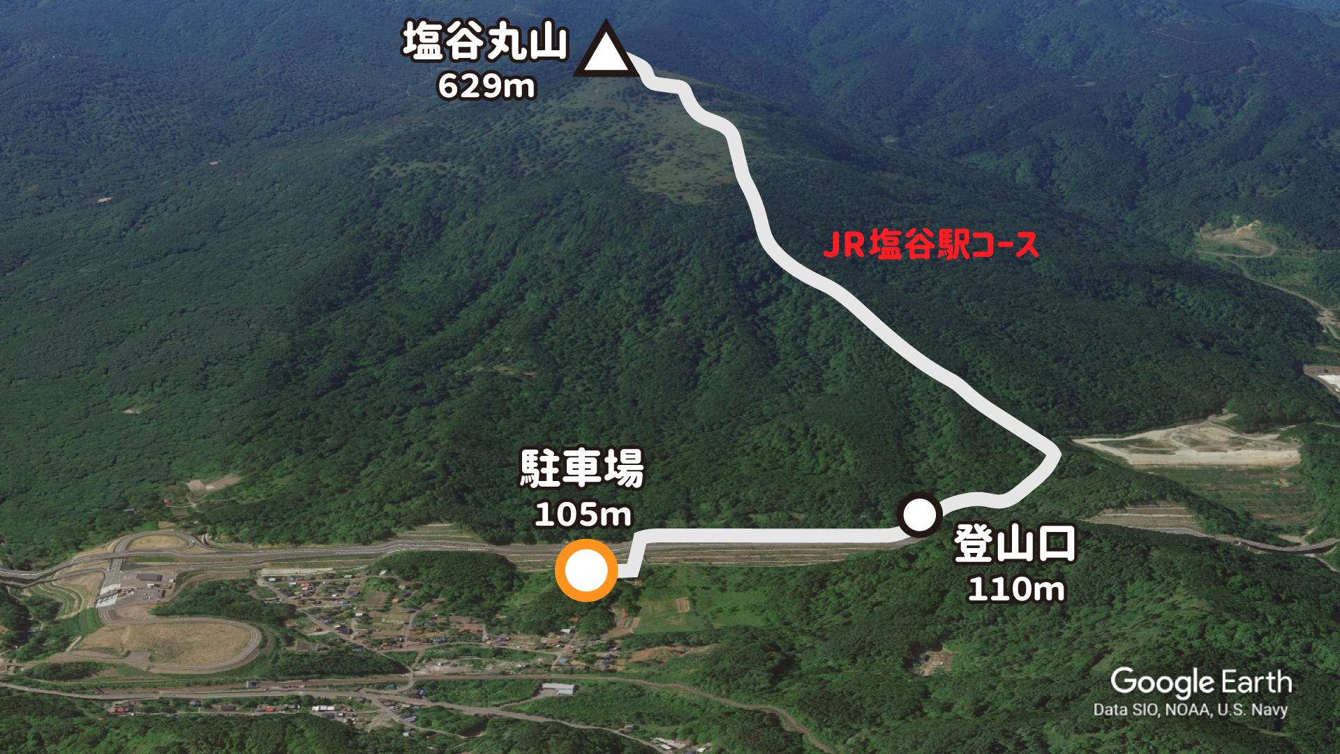
I got off the highway at Otaru-Shioya Toll Gate and arrived at the parking lot at the trailhead in 5 minutes! Access is too good because you can come from Sapporo in 1 hour 😲
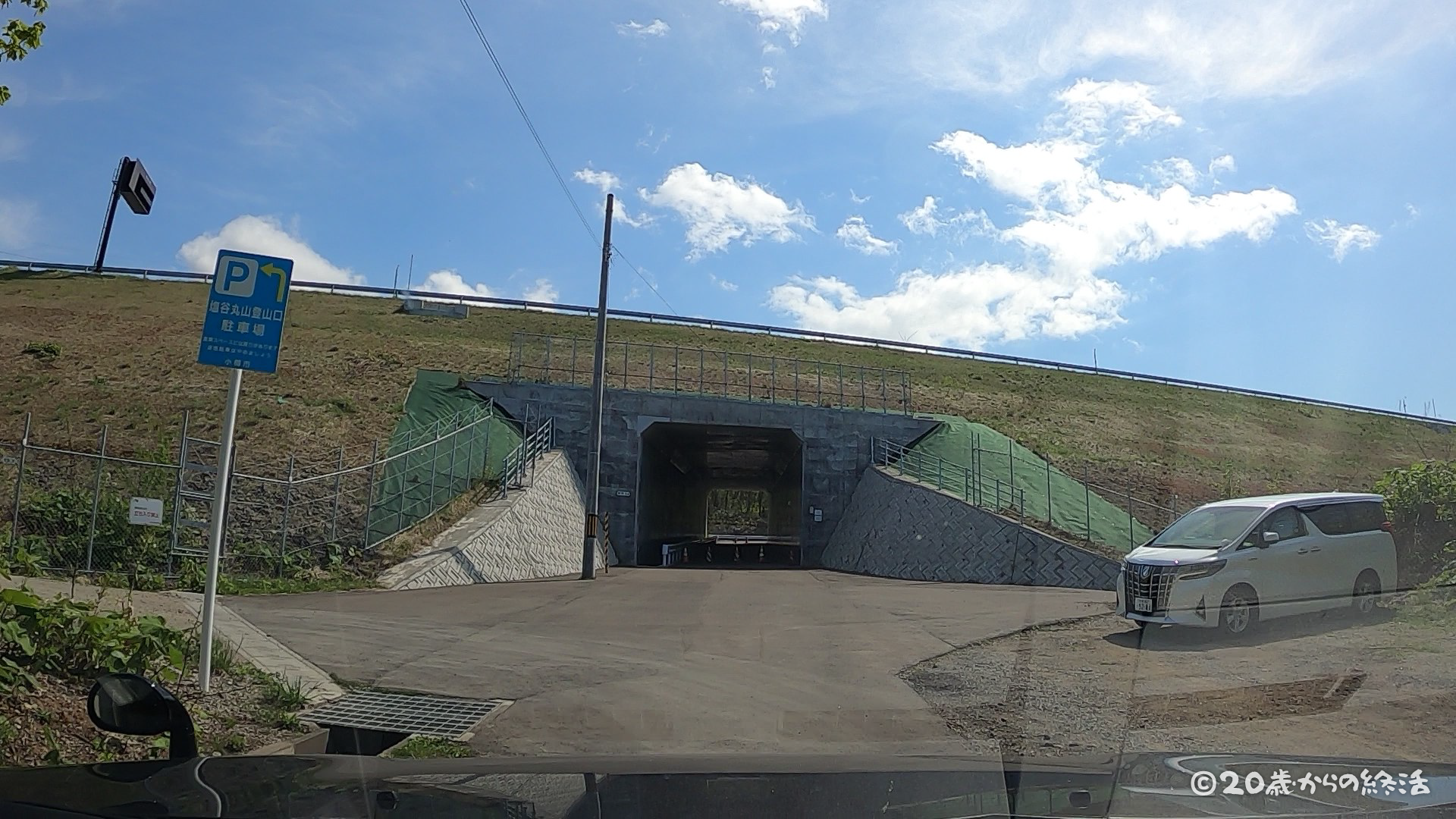
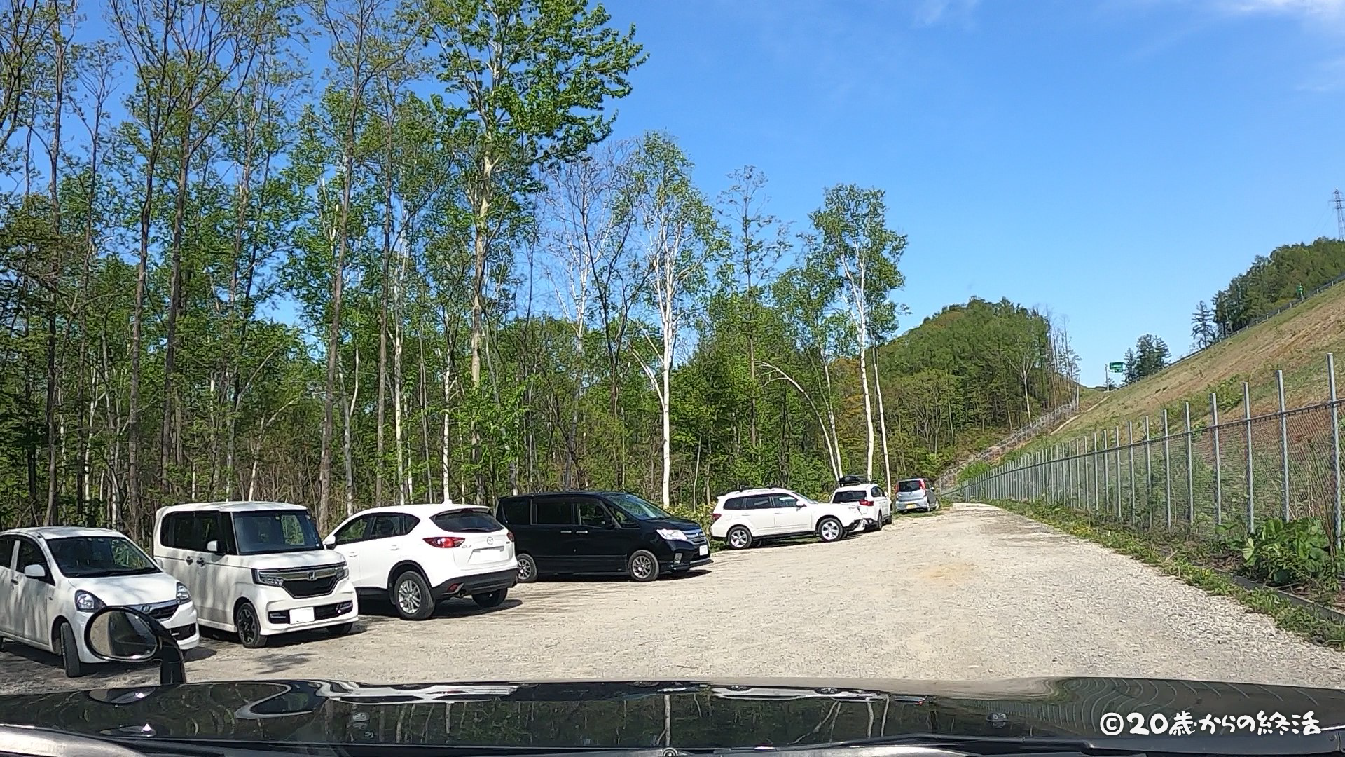
About 15 cars can be parked in this parking lot, and it seems that the parking lot will be filled with many climbers on weekends. Today was a weekday and the mountaineering season had just begun, so there were few cars.
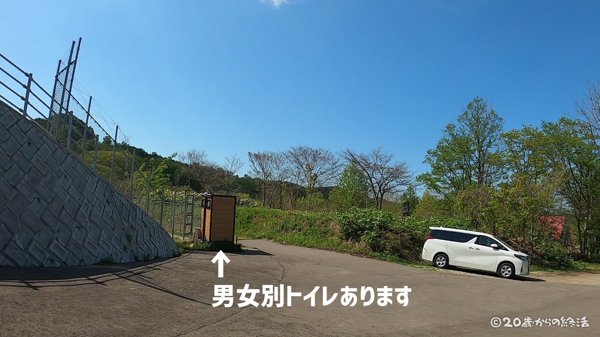
There is some restroom in the parking lot at the trailhead of Mt.Shioya Maruyama. It is good because there are many mountains without toilets at the trailhead and parking lot.
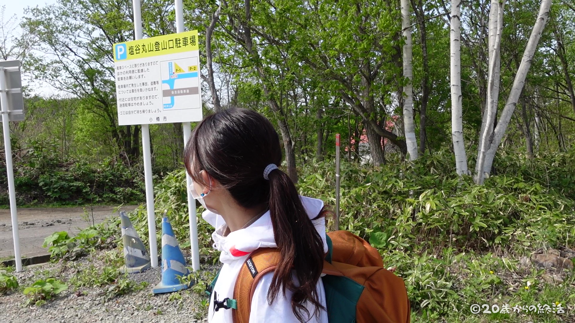
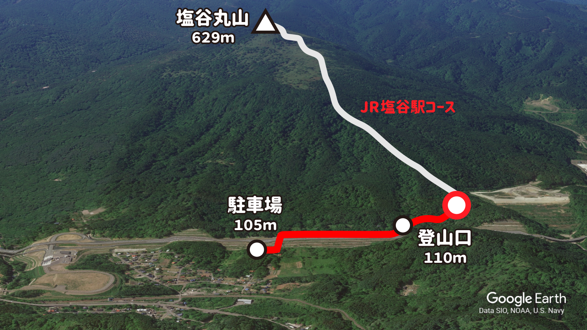
The trailhead of Mt.Shioya Maruyama is 500m away from here. First of all, I will walk toward the trailhead!
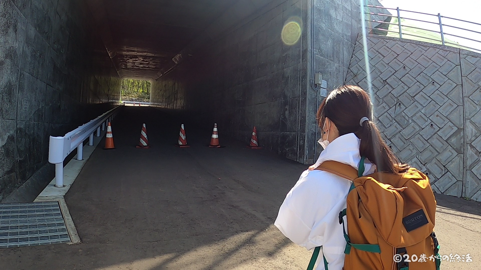
Go through the tunnel to the other side of the highway.
elevation of 100m
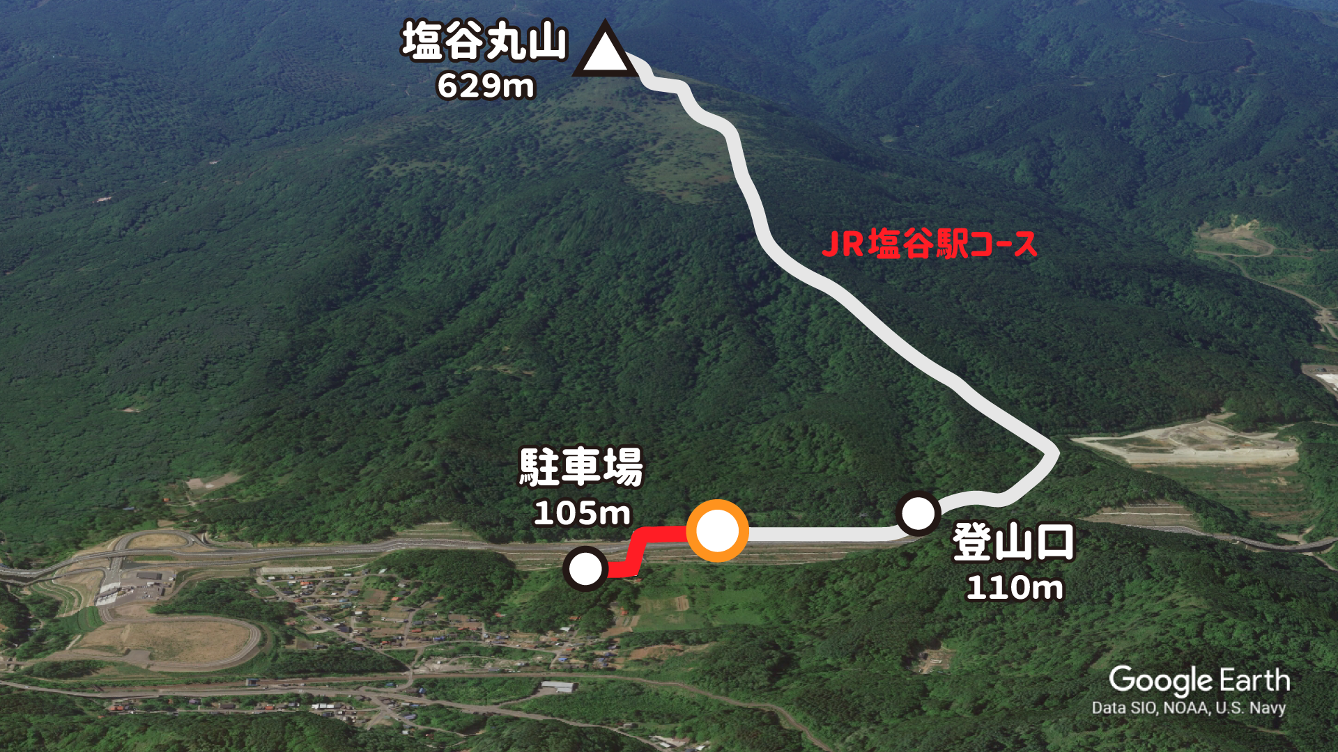
A flat gravel road continues from the parking lot to the trailhead.
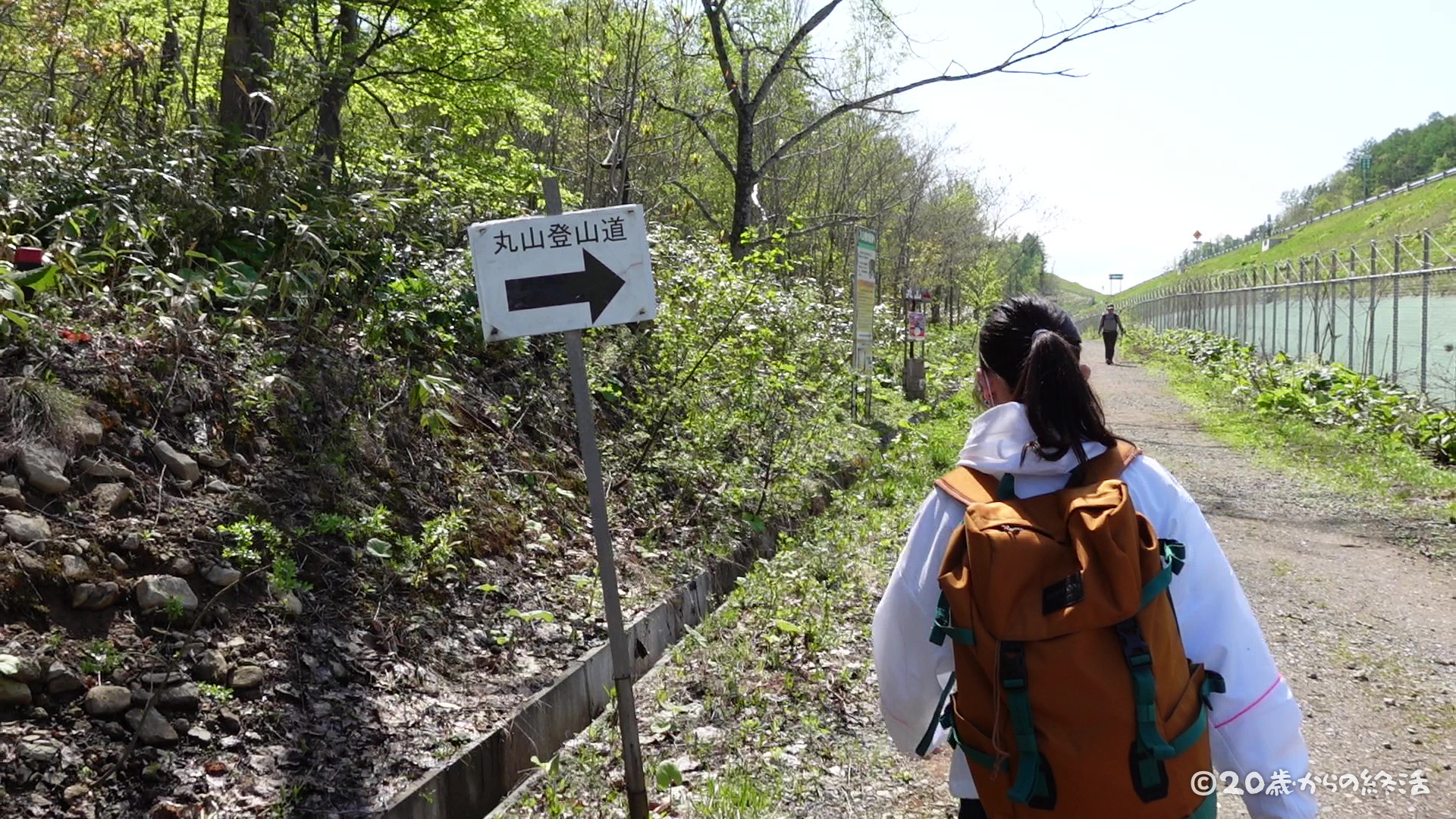
Despite being one road, there were many signboards for the trailheads and mountain trails.
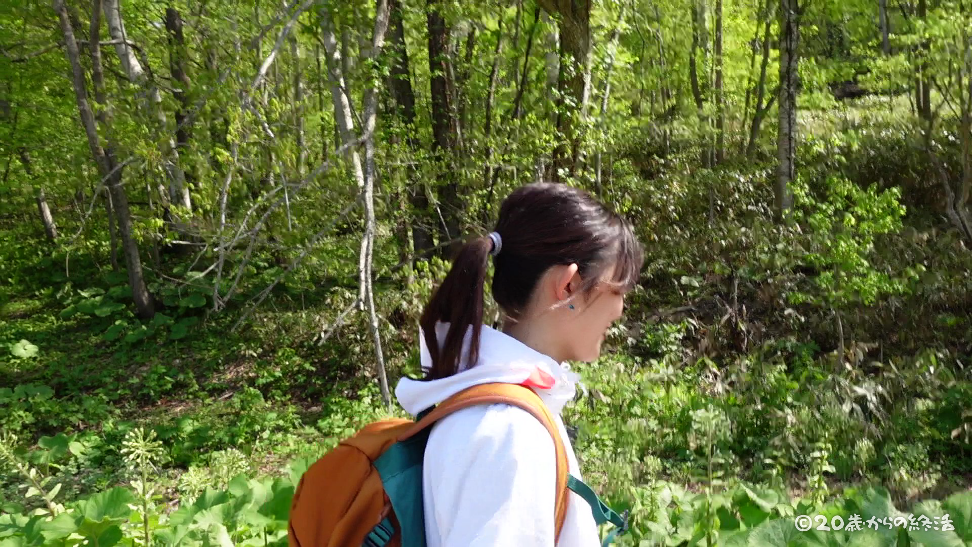
Mt.Shioya Maruyama is a popular mountain, and the mountain trails were well maintained.
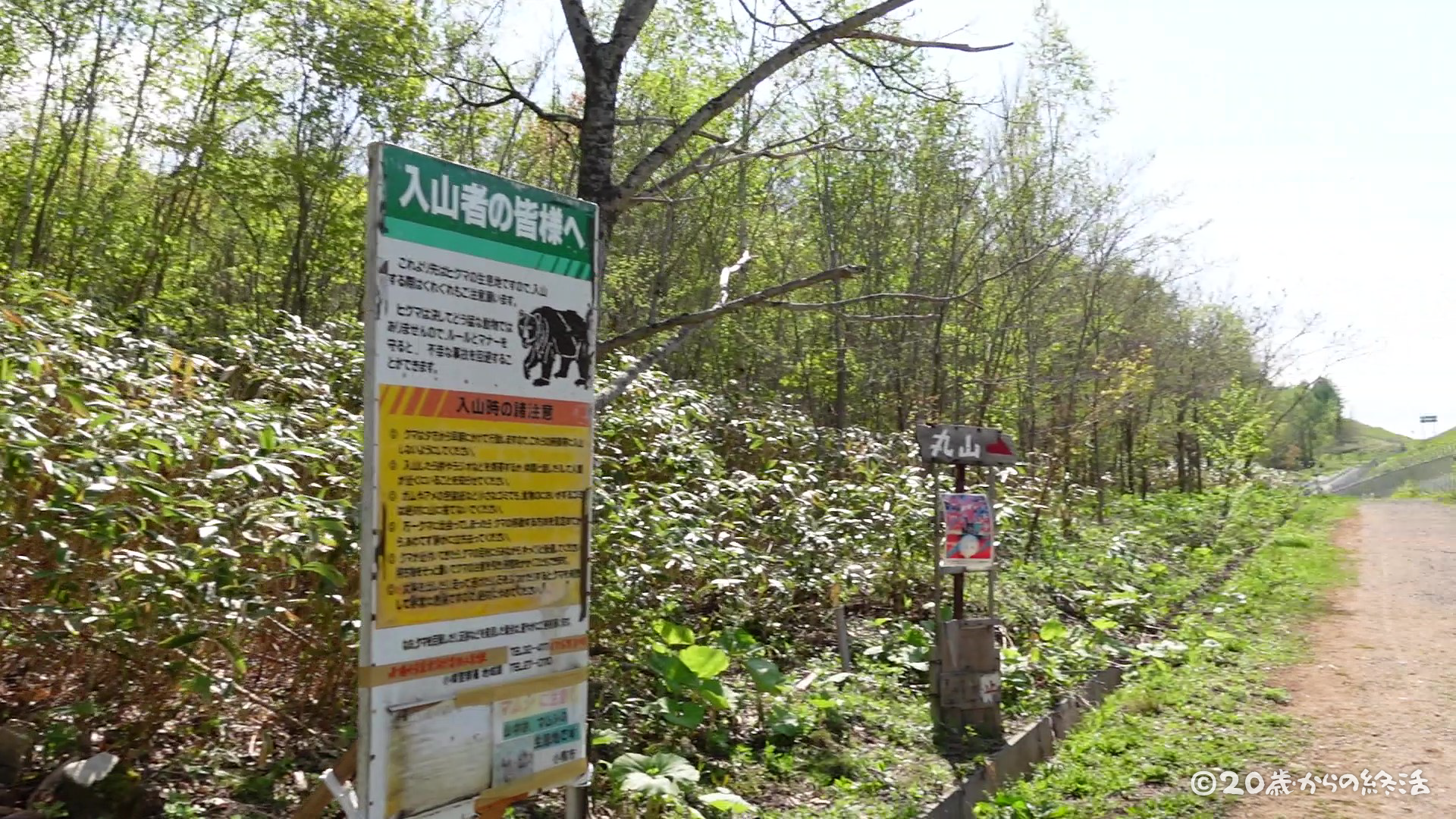
There was a bear caution sign. It’s a little scary that hungry bears after hibernation is somewhere in this forest 😨
elevation of 110m
trailhead
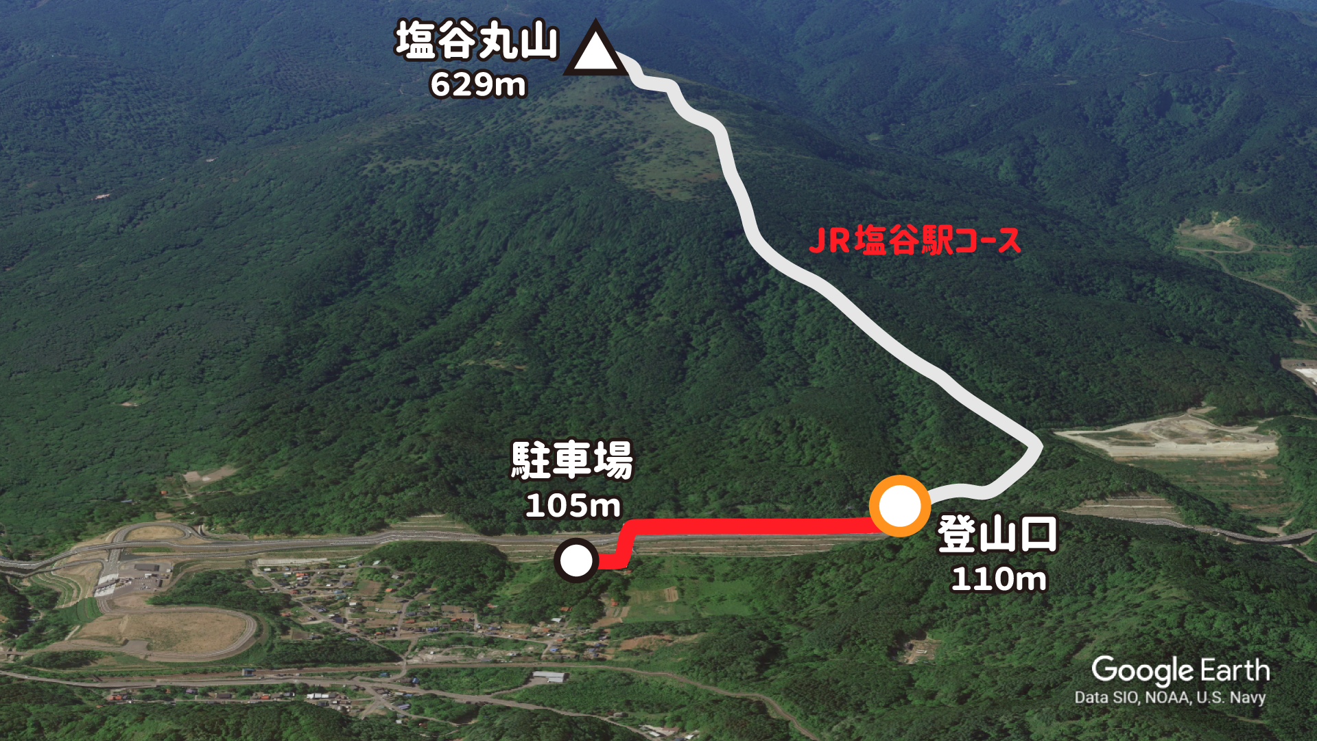
It took 10 minutes to walk along the highway from the parking lot and arrived at the trailhead!
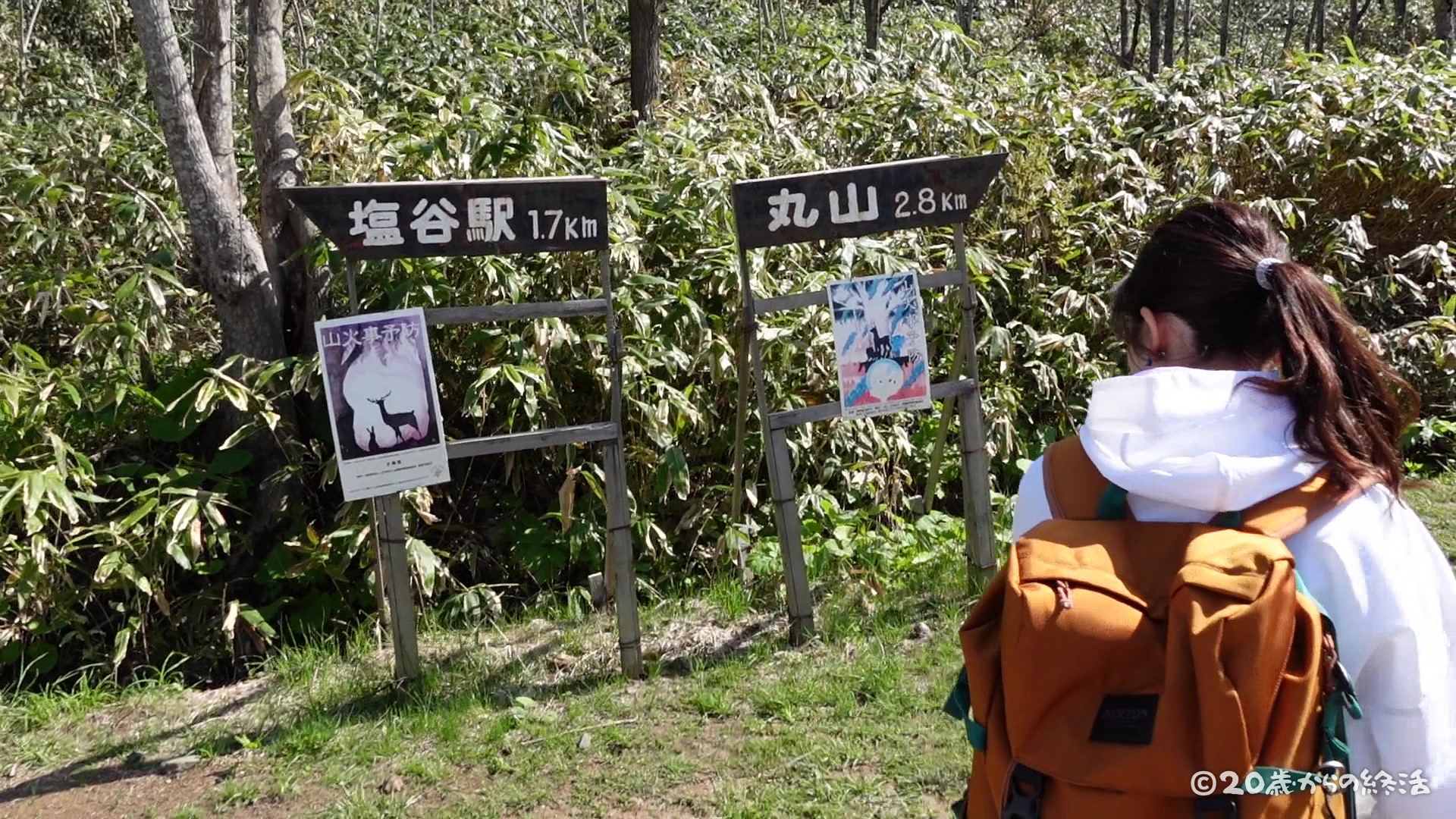
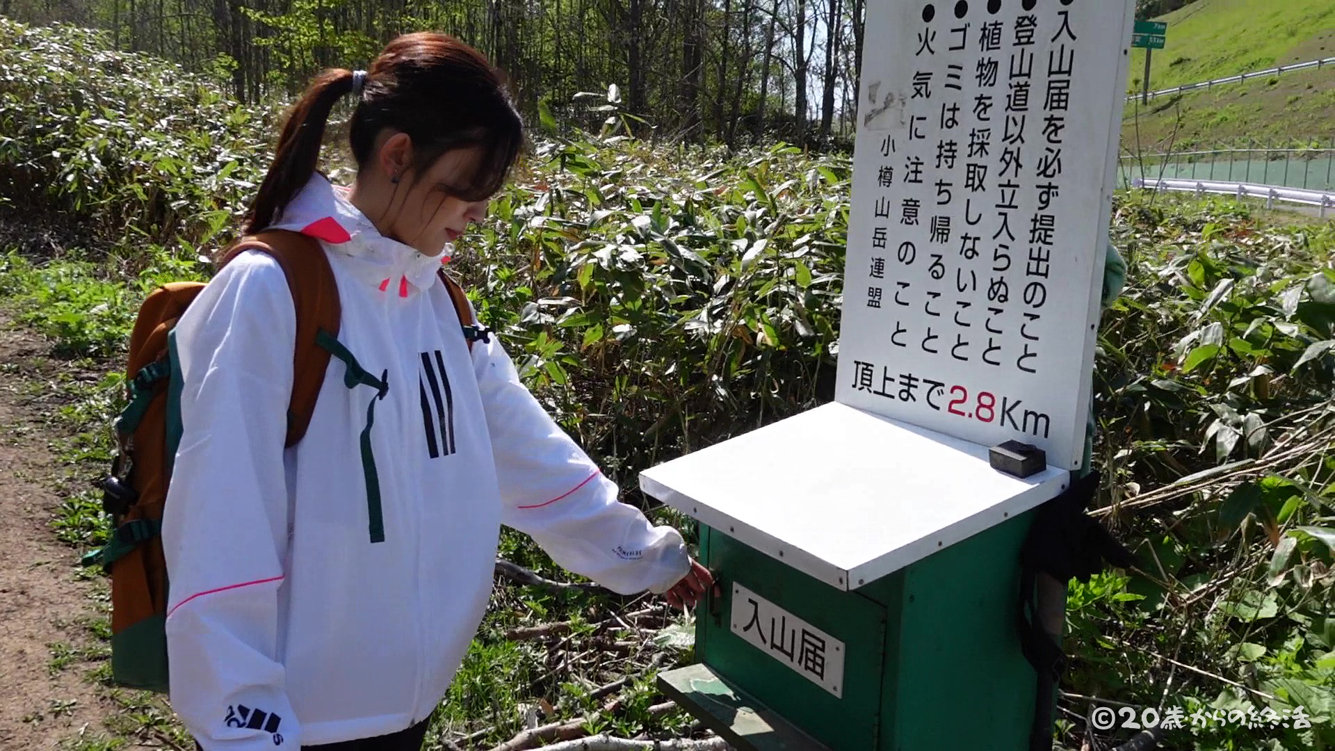
Looking at the mountain climbing registration form, you can see that many people are climbing Mt.Shioya Maruyama from all over Hokkaido today.
We will also fill out the mountain climbing registration form and finally start climbing!
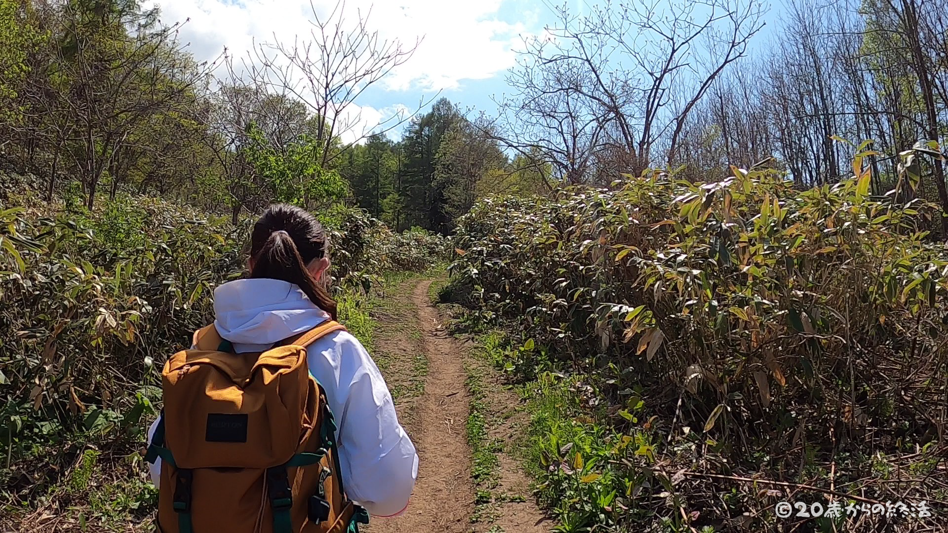
elevation of 139m
mountain trail
time +4min / elevation +29m / distance +0.2km
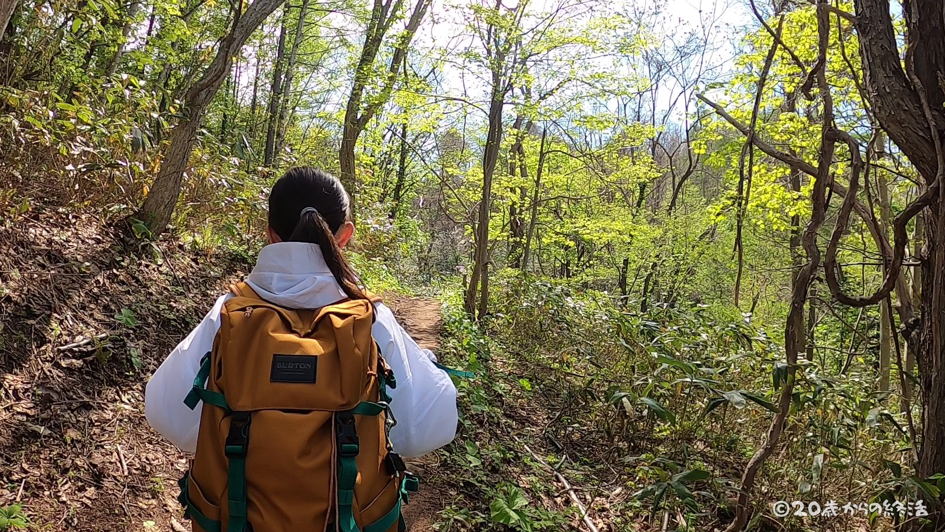
4 minutes from the trailhead,there is still a gentle slope here.
Looking at the GPS log later, I was climbing little by little, but there was a downhill, so I didn’t feel like I was climbing yet, and I felt like I was taking a walk in the forest.
elevation of 162m
mountain trail
time +9min / elevation +52m / distance +0.4km
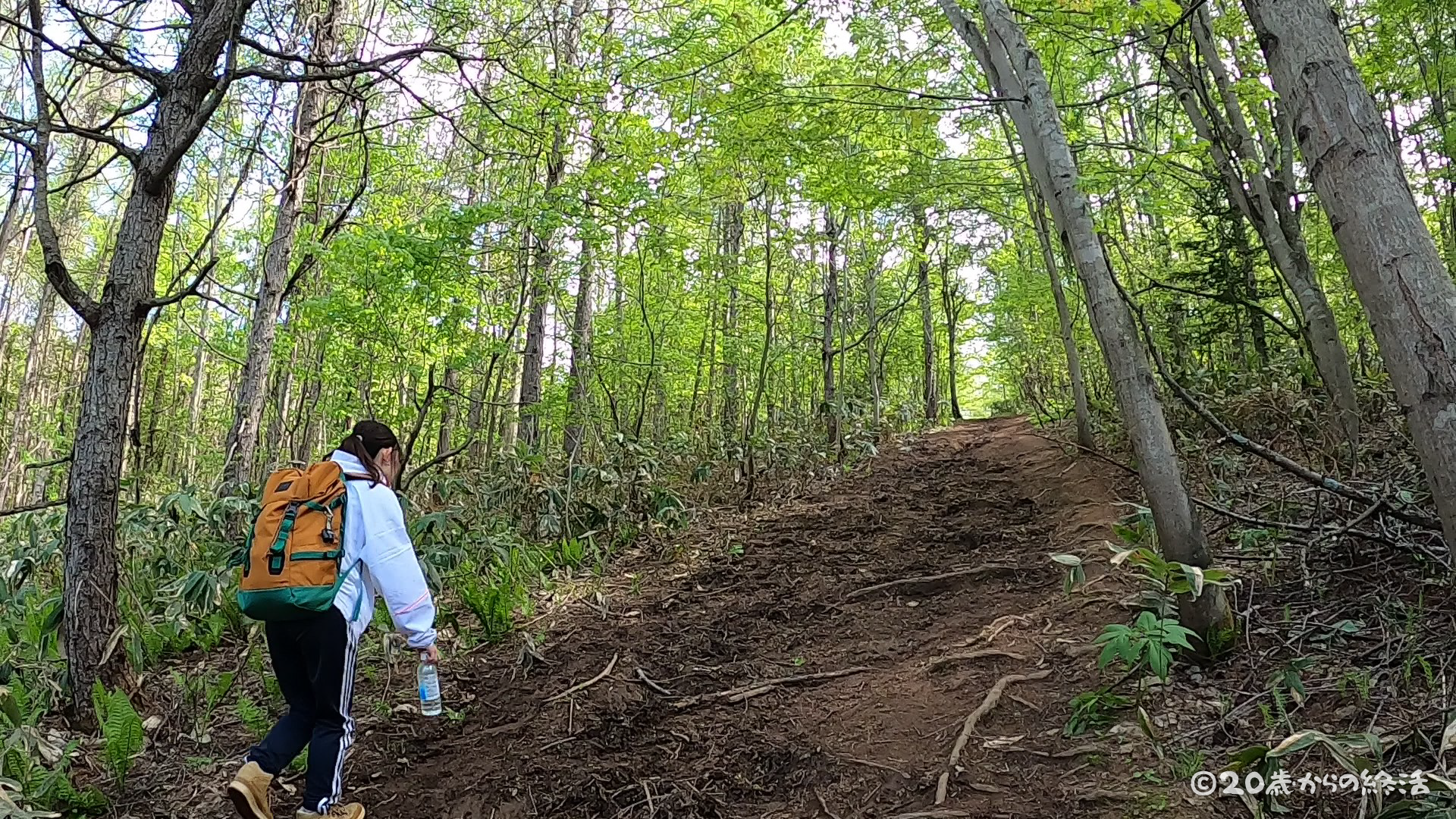
About 9 minutes after the trailhead, the slope suddenly became steep.
Although the slope became steep, it was just a steep slope instead of climbing the steps such as the maintained stairs, rocks and tree roots.
elevation of 343m
mountain trail
time +33min / elevation +233m / distance +1.3km
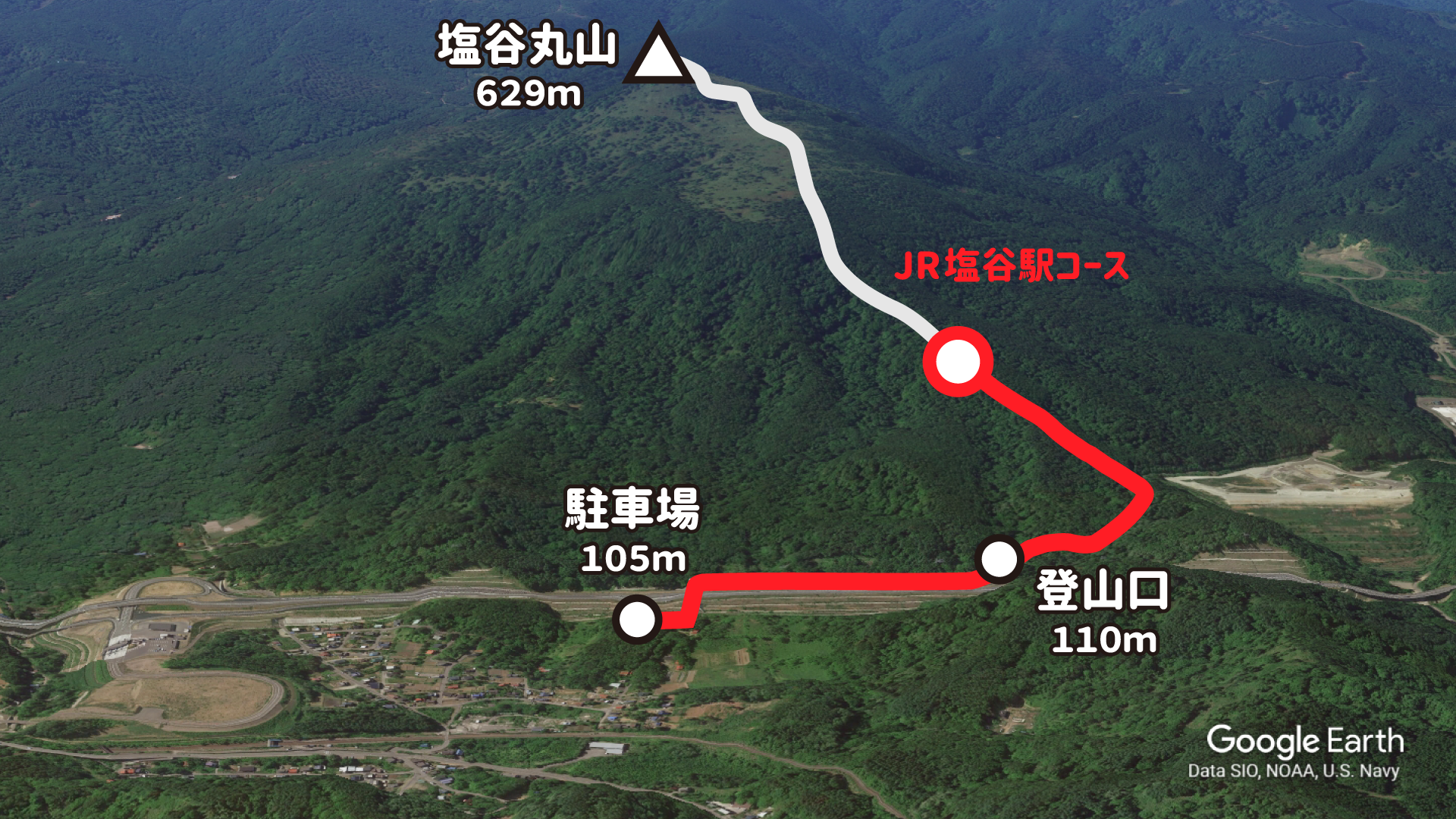
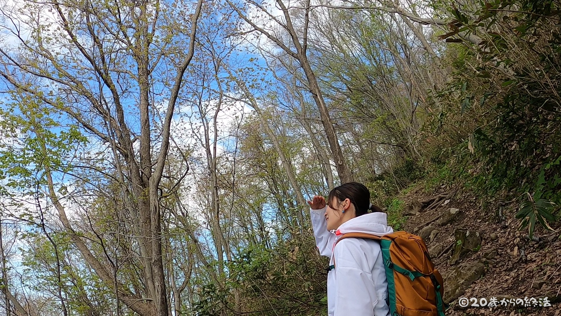
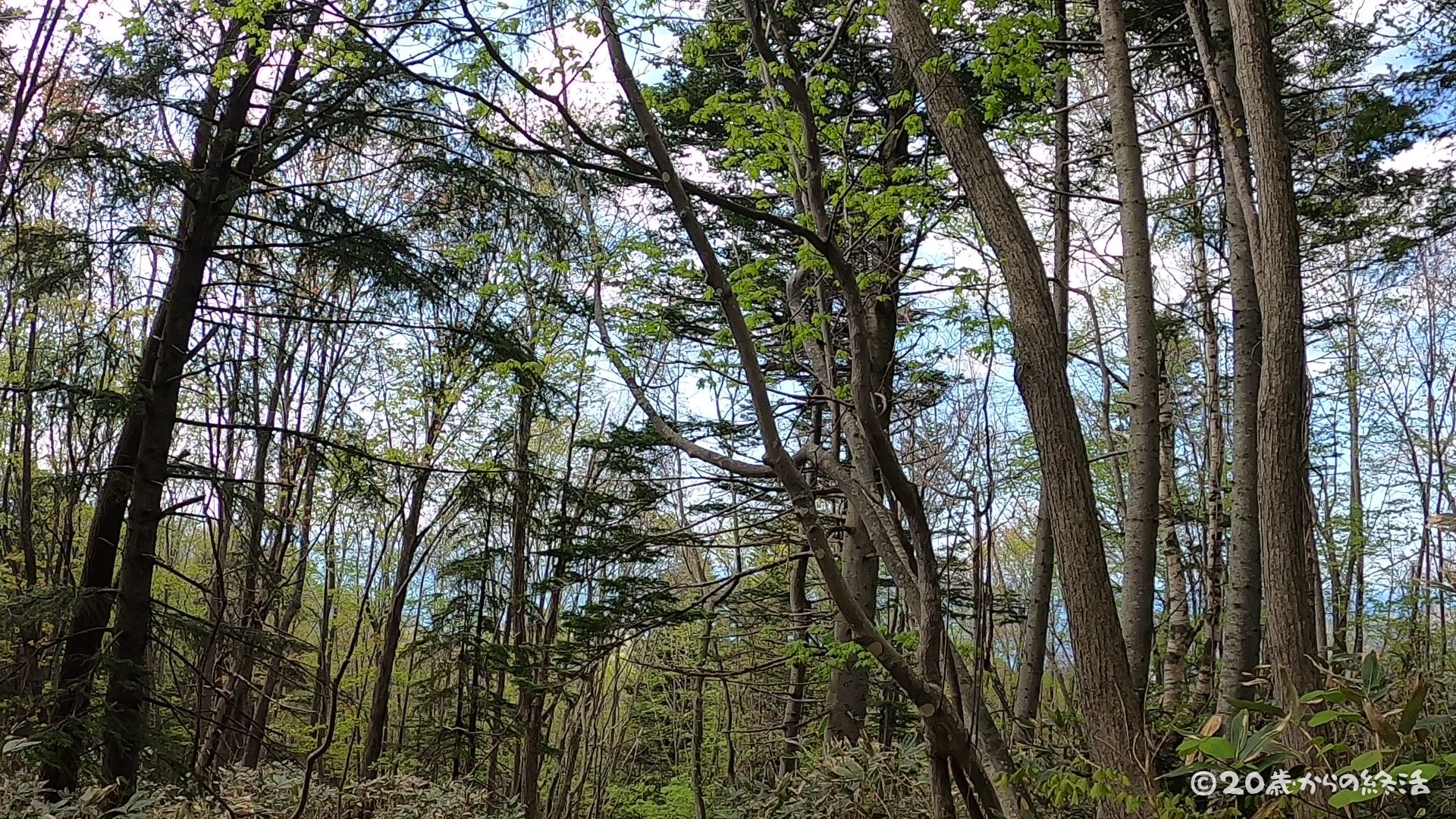
Thirty-three minutes after the trailhead, the field of view gradually opened and I could see the surrounding scenery!
Since it is in a forest away from the city and where there are no humans, you can often hear the sounds of nature such as the sound of the wind and the barking of birds. We were able to forget our busy days and be healed 😊
It’s hard to see in the picture, but I could see the sea in the distance!
elevation of 492m
mountain trail
time +57min / elevation +382m / distance +2.0km
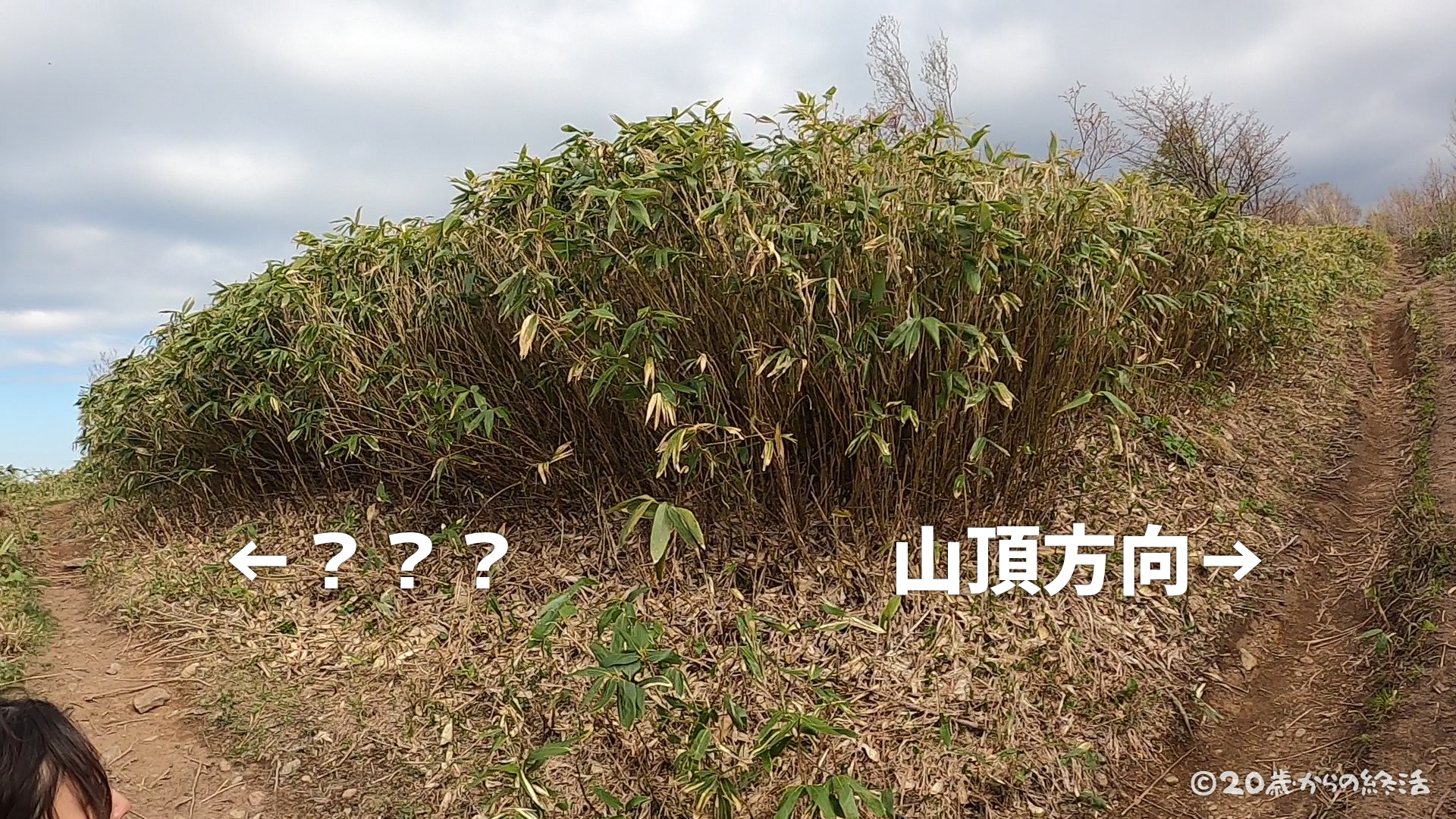
57 minutes from the trailhead, there was only one mountain trail until now, but we arrived at a fork.
I knew from a preliminary survey that there were two types of mountain trails, but I was confused because they were not supposed to meet at this altitude and direction 😅
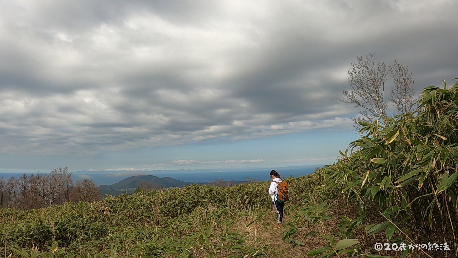
For the time being, we go a little further …
The end of the fork was a dead end, and it was a super view point where you can see the scenery well! You can see the superb view in tens of seconds from the fork, so please stop by!
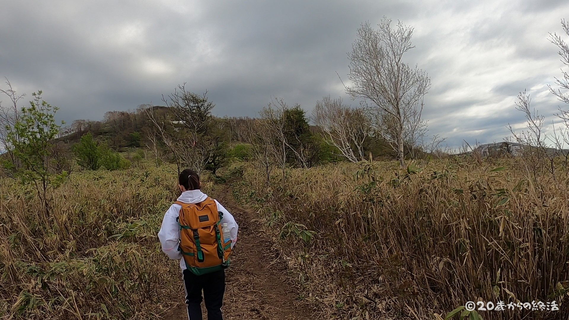
I could see the top of a mountain, but the weather was getting worse …
Although it was unlikely that it would rain according to the weather forecast, it was gradually becoming cloudy 😭
elevation of 519m
mountain trail
time +1h05min / elevation +409m / distance +2.2km
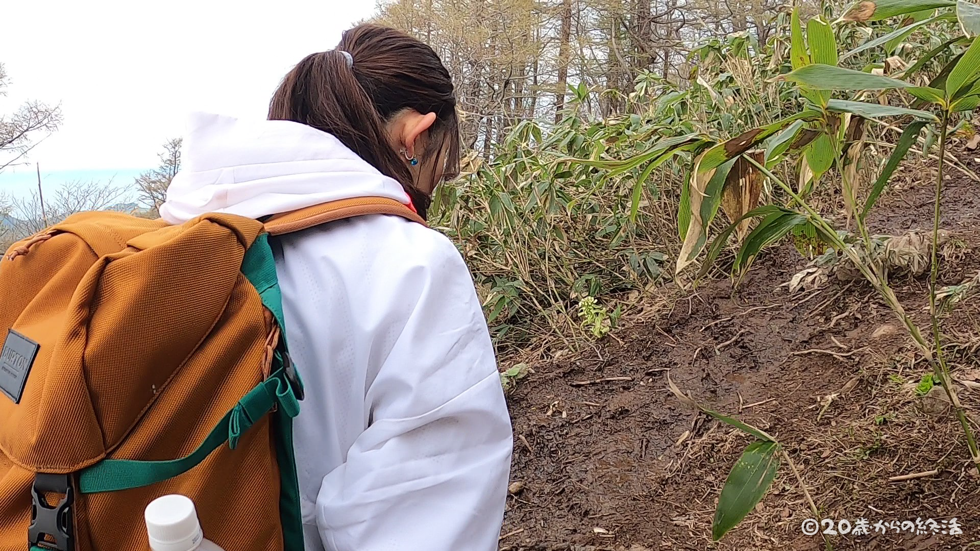
1 hour 5 minutes from the trailhead, We arrived at the muddy area of the thawed water, which is the most difficult to walk on this mountain climbing.
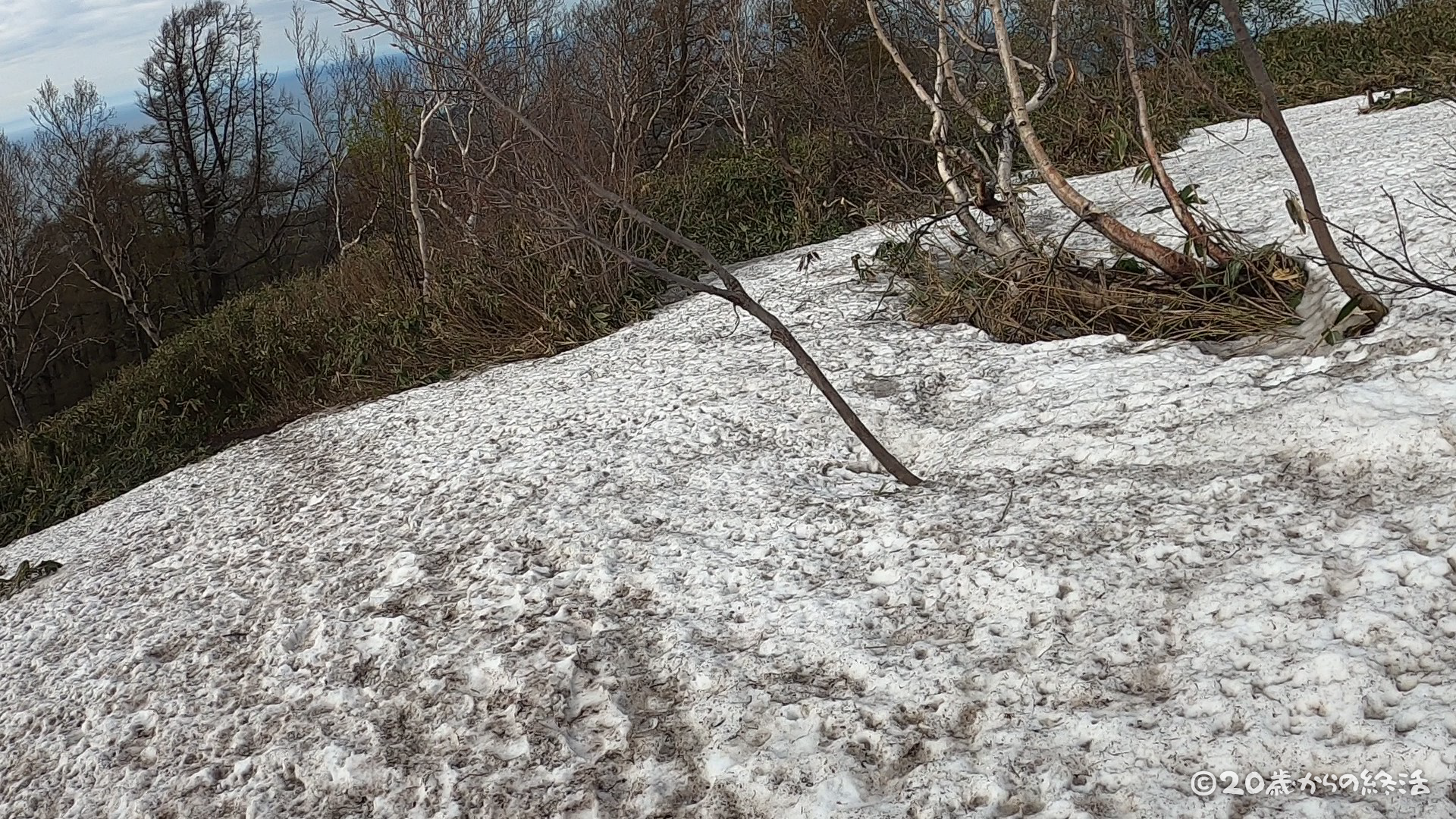
The snow thaws at this time every year here, but there is still a little left near the top of a mountain.
It was a little difficult to walk, but I could climb without problems with ordinary mountain climbing shoes without wearing crampons.
elevation of 550m
mountain trail
time +1h11min / elevation +440m / distance +2.5km
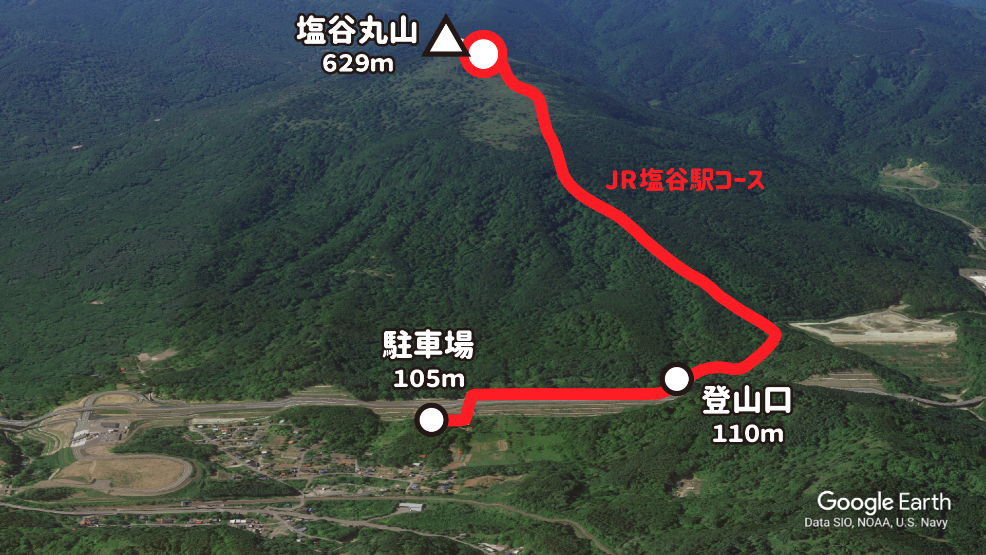
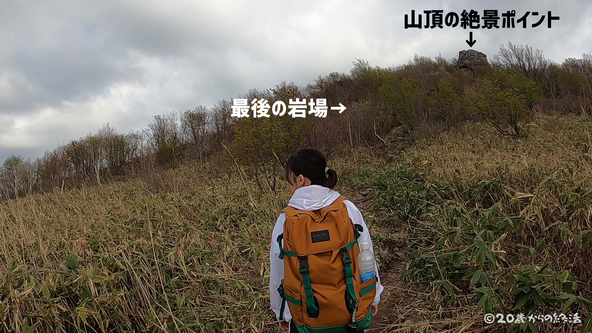
1 hour 11 minutes from the trailhead, It was almost time to reach the top of the mountain.
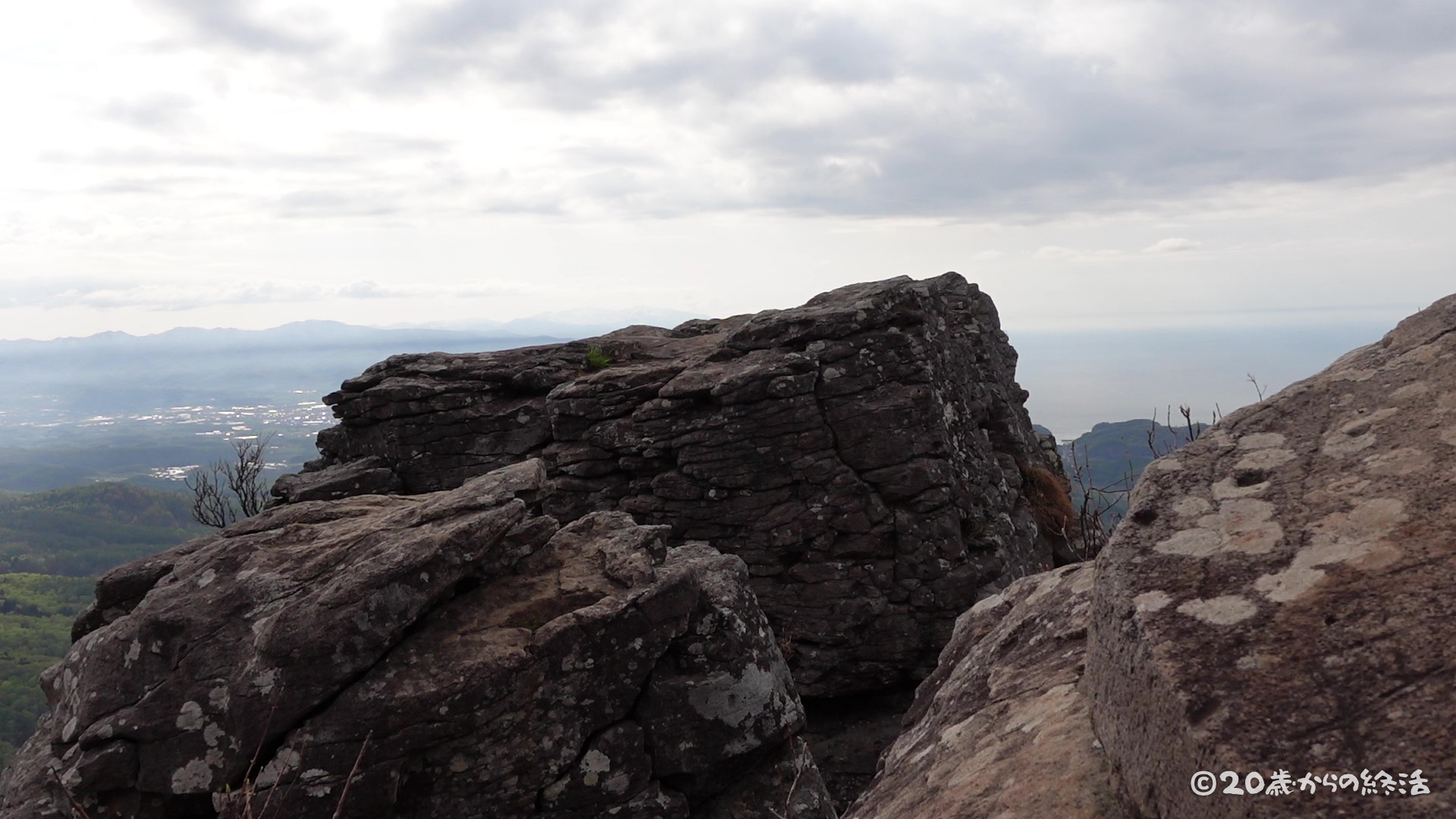
We saw the rock at the view point on the top of the mountain right there.
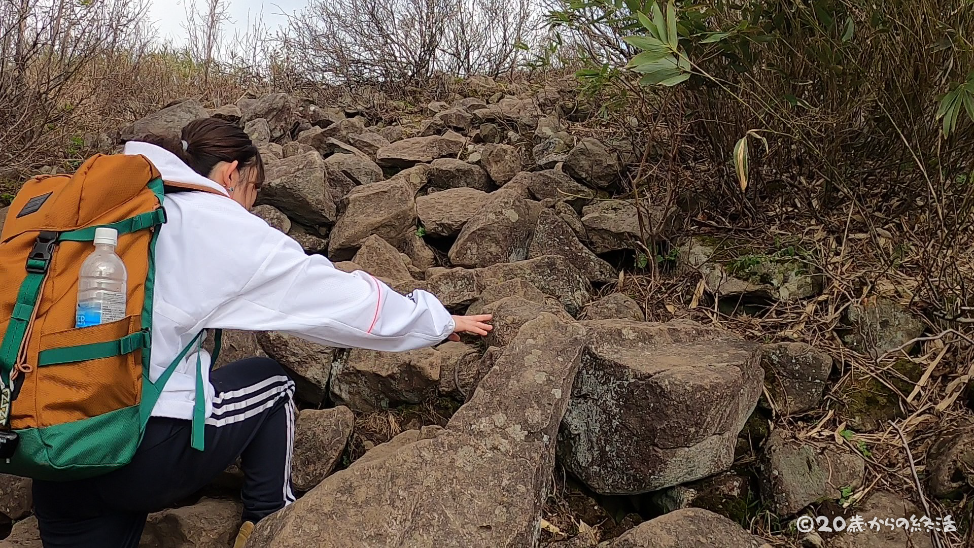
We were relieved because we could see the top of the mountain but … In front of the top of the mountain, we arrived at a steep rocky area 😨
elevation of 629m
top of the mountsin
time +1h24min / elevation +519m / distance +2.8km
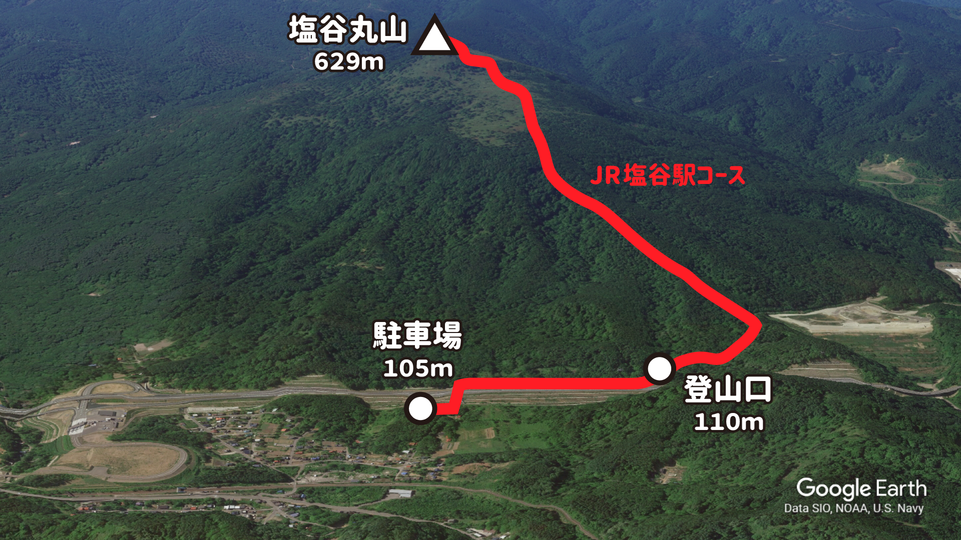
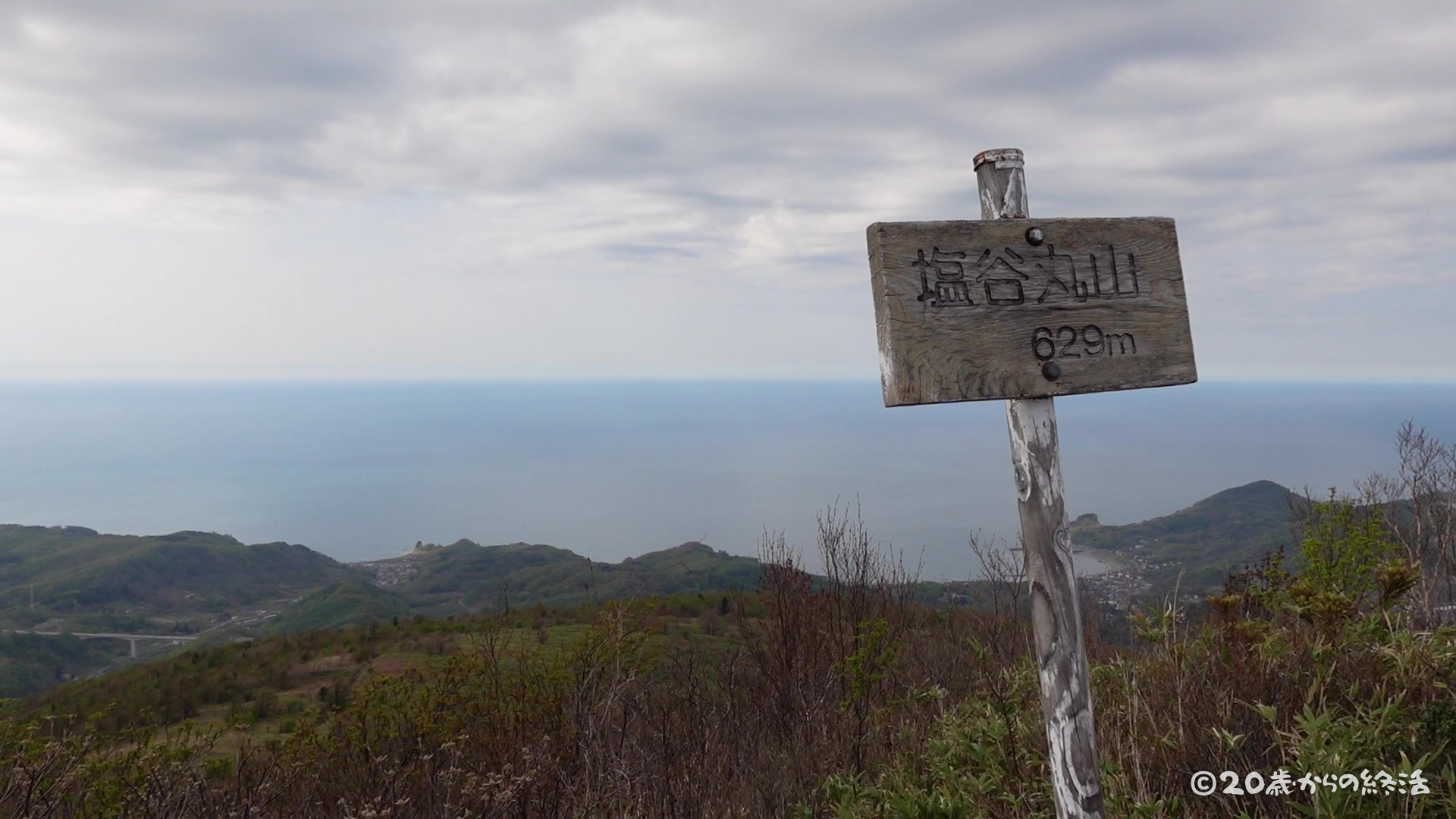
1 hour 24 minutes from the trailhead, We arrived at the top of Mt.Shioya Maruyama elevation of 629m in Otaru, Hokkaido.
We climbed the mountain for the first time in a long time, but it was a lot of fun to be able to feel the nature 😄

 【終活】人生を変えた1人旅と「20歳からの終活」を始めた経緯
  【終活】死ぬまでにやりたい事をリストアップしてみた(随時更新)
  【終活】残りの人生どう生きる??20歳からの人生計画を立ててみた